
Family-owned · Denver Local
Wildfire Mitigation in Conifer, CO: The Town Colorado's Insurance Commissioner Named
Call directly(303) 304-9997Instant Quote
Your estimate starts here.
We'll follow up within one business day. No pressure, no upsells.
Overview
Our Services in Conifer
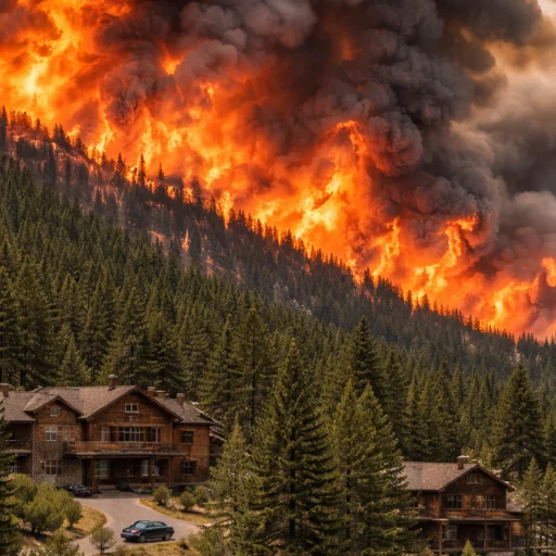
Wildfire mitigation in Conifer, CO is now the line between a property you can insure and one no standard carrier will touch. Conifer is one of only two communities Colorado Insurance Commissioner Michael Conway has named by name, alongside Evergreen, as places where homeowners are struggling to find coverage at any price. That's not a marketing claim. That's the regulator telling you your zip code is on the exit list, backed by statewide numbers that are hard to argue with: premiums up 57.9% between 2018 and 2023, non-renewals up 77%. Joe Slota at Complete Estate Care works directly with Conifer homeowners along the Highway 285 corridor to build the defensible space and the written documentation record that gives you legal standing before a fire ever starts. Call Joe at (303) 304-9997 to schedule a free site assessment.
Complete Estate Care serves Conifer from Denver, running the Highway 285 corridor into Aspen Park, Pine, Kings Valley, and the Turkey Creek drainage on a regular basis. Joe knows this stretch of the foothills specifically. He understands how ponderosa pine and Gambel oak stack up on the ridgelines above Aspen Park, why a lot that drains toward Turkey Creek behaves differently in a wind event than one on the open meadow flats, and what the single-corridor evacuation reality of Highway 285 means for how aggressively a property needs to be treated. Conifer sits roughly 30 miles from our Denver base, and Joe can typically schedule a first site visit within a week. Most Conifer properties he treats produce a formal mitigation report within 10 days of completion, formatted for insurance underwriters and Jefferson County fire programs.
Defensible space treatment on a wooded property along the Highway 285 corridor near Conifer, CO
Wildfire Mitigation in Conifer Starts with the Highway 285 Evacuation Reality
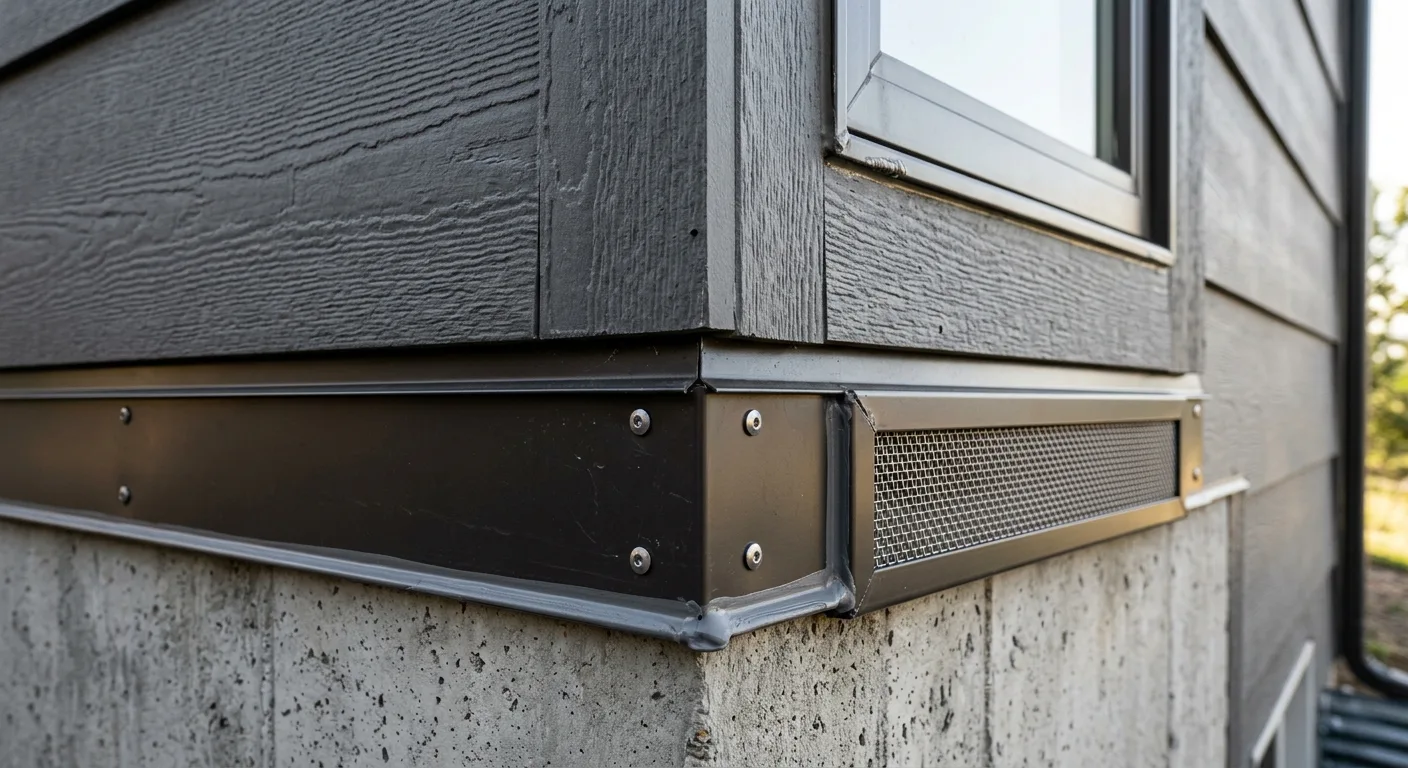
Most foothills towns worry about the fire. Conifer has to worry about the exit. Highway 285 is effectively the single evacuation artery for the entire corridor: Aspen Park, Pine Junction, Kings Valley, and the side roads that feed off it all funnel back onto the same two-lane highway. In a wind-driven fire, that geography changes the math on defensible space. When you can't count on beating the fire out on the road, the fuel you cleared around your structure and the ember-resistant hardening on your roof and vents built to keep embers out become the plan, not a backup to it. This is the piece most generic mitigation writeups skip. On a Conifer property, Joe assesses your defensible space as if the road is closed, because on a bad day it will be. That means tighter fuel-load targets on the uphill and drainage-facing exposures, and priority on the ember entry points that ignite a house long before the flame front arrives.

Ponderosa pine and Gambel oak fuel reduction on a Conifer, CO ridgeline lot
Why Conifer Landed on the Insurance Industry's Exit List
Here's the part that should bother every Conifer homeowner: the couple Colorado keeps citing as the cautionary tale did everything right. Steve and Jen Hoogendoorn, in neighboring Evergreen, ran a steel roof, concrete decking, and maintained 300 feet of defensible space, with their own fire department rating the work A-plus. Farmers non-renewed them anyway. No inspector ever visited. The carrier relied entirely on an algorithmic risk score tied to geography, and Conifer sits in the exact same Jefferson County wildland-urban interface that produced that score. Doing the work is not enough here. Proving you did it, in a format an underwriter reads and an attorney can use, is the part almost everyone skips. That paper trail is your evidence. It shows you acted in good faith before a fire. It shows what your property looked like before any loss. It gives your attorney something concrete if your insurer delays a payout, disputes the cause, or blames 'deferred maintenance.' We don't just protect your home from fire. We protect you from your insurance company.
What Complete Estate Care Delivers on Every Conifer Project
Every project Joe completes in Conifer produces a physical documentation record, not just cleared brush. Here's what leaves with you when the work is done.
GPS-Tagged Debris Mapping
Formal Post-Mitigation Report
CSFS-Aligned Defensible Space Zones
HB25-1182 Insurance Compliance Documentation
IBHS Wildfire Prepared Home Pathway Support
Defensible space treatment on a wooded property along the Highway 285 corridor near Conifer, CO
Defensible Space in Conifer, Colorado: Ponderosa, Gambel Oak, and the Ridgelines
Defensible space in Conifer, Colorado is not a template you copy from a Front Range checklist. The fuel profile up here is specific. Ponderosa pine dominates the ridgelines above Aspen Park and Kings Valley, with Gambel oak filling the understory and the transition slopes, and the two behave very differently in a fire. Ponderosa acts as ladder fuel and a crown-fire pathway straight to a roofline when the stands are too tight. Gambel oak is an aggressive resprouter: cut it once and it comes back thicker inside two seasons, which is why a one-time clearance quietly loses its value if nobody plans the follow-up. Aspect matters as much as vegetation. On the south and southwest-facing pitches common through Pine and the upper Turkey Creek drainage, moisture deficit and fire spread rate are measurably worse than on the meadow flats near the highway. Joe adjusts zone recommendations to your actual slope, aspect, and fuel load instead of a one-size number. If you want the broader picture of how structural upgrades layer on top of cleared ground, the home hardening page walks through it.
Ponderosa pine and Gambel oak fuel reduction on a Conifer, CO ridgeline lot
Conifer Sits in the Same Jefferson County Fire Environment as Golden and Evergreen
Conifer sits inside the Jefferson County wildland-urban interface, the same classification and the same fire environment that carriers are pricing out. This is fire mitigation Jefferson County work in the most literal sense, and the county's history is the reason it's not abstract. The 2012 Lower North Fork Fire burned Jefferson County terrain with direct parallels to the Conifer corridor: forested slopes, narrow drainages, heavy fuel loads, and wind-driven fire that outran evacuation timelines on limited road access. It destroyed more than 20 homes and killed three people, and fire behavior analysts still use it as a case study for the entire foothills. Your lot is not a statistic on a map. The Gambel oak thicket behind the house resprouts on a cycle. The ponderosa on the steeper pitch is a ladder to the eaves. On a corridor with one real way out, that specificity is the whole point. Joe has worked this stretch of 285 long enough to read those conditions on sight and build the treatment around them.
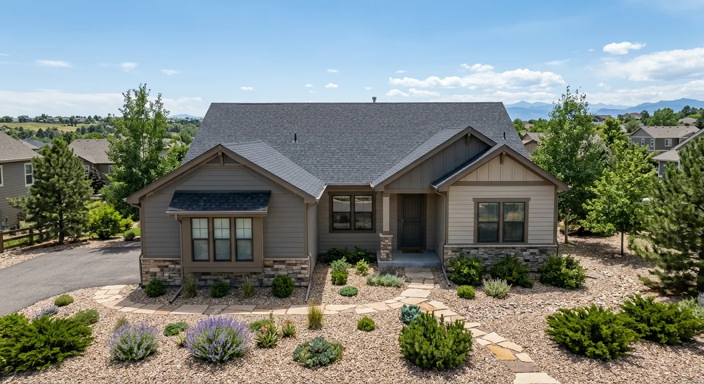
Completed wildfire mitigation and home hardening work on a Jefferson County foothills property
What Defensible Space Actually Costs in Conifer
Professional defensible space treatment in Conifer and the surrounding Highway 285 corridor typically runs from $3,000 to $15,000+*, depending on lot size, terrain steepness, vegetation density, and how much work has been done before. A smaller Conifer lot under an acre with moderate forest density usually falls in the lower half of that range. A heavily forested multi-acre ridgeline property with steep grades and years of accumulated ponderosa and oak can run considerably higher. What drives the number is the condition of your specific parcel, not the service itself. Use our cost calculator for a rough range before you call, then talk to Joe directly for an honest read on what your lot actually needs. Every job is different. Contact Complete Estate Care for an accurate estimate. Ask Joe about the Colorado Wildfire Mitigation Tax Credit too, which can offset a meaningful share of documented mitigation costs for qualifying Conifer homeowners.
* Pricing reflects typical project scope across the Highway 285 corridor and excludes site-specific factors that materially affect cost: slope and access, permit or code requirements, standing dead timber volume, vegetation density, and material selection. Exact pricing is provided only after an on-site assessment. Call (303) 304-9997 or request a free estimate.
Defensible space treatment on a wooded property along the Highway 285 corridor near Conifer, CO
HB25-1182 Gives Conifer Homeowners Legal Footing. Use It.
Before Colorado passed HB25-1182, your insurer could run a black-box risk model, assign your Conifer address a high score, and use it to justify a non-renewal or a premium spike with no obligation to show their work and no path for you to challenge it. That has changed. Under the new law you can request the methodology behind your risk score, submit documented mitigation evidence for reconsideration, and formally appeal. But the law only works if you have the documentation. Think back to the Hoogendoorns. Under HB25-1182, a homeowner with that level of mitigation plus a professional record would have statutory grounds to force a reconsideration. That's not a guarantee. It's standing. Right now most Conifer homeowners don't have it, because they've done the yard work but never built the file. That's the gap Complete Estate Care closes with our fire mitigation service. For the policy context behind these changes, the Colorado wildfire history resource is worth reading before your assessment.
FAQ Common questions
Conifer Wildfire Mitigation: Common Questions
Answers below
How far from my house does defensible space need to extend in Conifer? +
Colorado State Forest Service guidelines set Zone 1 at 0 to 30 feet from the structure and Zone 2 from 30 to 100 feet, but those are minimums for flat ground. On Conifer's ridgeline and drainage lots, Zone 1 should extend further downhill because fire climbs a slope faster than it moves across level terrain, and much of the corridor above Aspen Park and Kings Valley is anything but level. Joe evaluates your actual slope and aspect during the assessment and sets zone distances to your conditions, not a one-size number.
Does the Highway 285 evacuation situation change how my Conifer property should be treated? +
It matters a lot, and it's the reason a Conifer property should be treated more aggressively than a comparable Front Range lot. Highway 285 is the primary evacuation route for the whole corridor, from Aspen Park through Pine Junction, and in a wind-driven fire that single artery can bottleneck or close. When you can't count on driving out, the defensible space and ember-resistant hardening around your structure stop being a precaution and become the actual plan. Joe assesses Conifer properties as if the road is closed, which shifts priority onto the uphill exposures and ember entry points.
I got a non-renewal notice for wildfire risk on my Conifer home. Can mitigation help? +
Yes, and it's one of the strongest arguments for building the documentation now. Colorado's Insurance Commissioner has publicly named Conifer, alongside Evergreen, as a community where homeowners are struggling to find coverage. Carriers are pricing the whole Jefferson County wildland-urban interface off geography and algorithmic risk scores, sometimes without ever inspecting the property. Documented mitigation, an IBHS Wildfire Prepared Home pathway, and an HB25-1182 appeal file give you more standing than the vast majority of Conifer homeowners currently hold. It's not a guarantee of coverage, but it's the strongest case available.
How do I handle the Gambel oak on my Conifer property? It grows back fast. +
Gambel oak is an aggressive resprouter, so a single clearance isn't permanent. Effective management means cutting, treating the cut stumps to slow regrowth, and scheduling a follow-up 12 to 18 months later before new growth rebuilds a continuous shrub layer. Across the Conifer corridor, oak fills the understory and the transition slopes, so Joe builds that cycle into the project scope for properties with significant coverage. That way you're not starting from scratch every couple of seasons, and your documentation record stays current.
How does the 2012 Lower North Fork Fire relate to the Conifer area today? +
The Lower North Fork Fire burned Jefferson County terrain with strong parallels to the Conifer corridor: dense ponderosa and Gambel oak on slopes, narrow drainages, and wind-driven fire behavior on limited road access. It destroyed more than 20 homes and killed three people, and analysts have used it as a case study for the broader foothills. How directly it applies to your neighborhood depends on your specific fuels, slope direction, and how close your structure sits to continuous forest. Joe can walk through that during an on-site assessment.
What's included in the post-mitigation report Complete Estate Care provides for Conifer homeowners? +
The report documents project scope, the vegetation types removed, treatment methods, zone boundaries relative to your structure, and before and after photos with embedded timestamps. GPS coordinates are included for major debris removal locations. It's formatted to meet insurance underwriter requirements and structured to support IBHS Wildfire Prepared Home applications and HB25-1182 appeal submissions. You get a file that works, not a one-page summary letter.
Protection Cost Estimate
Schedule Your Conifer Site Assessment with Joe Slota
If you're in Conifer, Aspen Park, Pine, Kings Valley, or anywhere along the Highway 285 corridor, the time to build your documentation record is before your next renewal, not after a non-renewal notice lands. Joe Slota is the person who answers the phone, comes to your property, and does the work. Call him directly at (303) 304-9997 or request a free site assessment and start building the paper trail your property needs.
Call (303) 304-9997 Free · No obligation
Or send us your info
FAQ Common questions
Frequently Asked Questions
Answers below
How far from my house does defensible space need to extend in Conifer? +
Colorado State Forest Service guidelines set Zone 1 at 0 to 30 feet from the structure and Zone 2 from 30 to 100 feet, but those are minimums for flat ground. On Conifer's ridgeline and drainage lots, Zone 1 should extend further downhill because fire climbs a slope faster than it moves across level terrain, and much of the corridor above Aspen Park and Kings Valley is anything but level. Joe evaluates your actual slope and aspect during the assessment and sets zone distances to your conditions, not a one-size number.
Does the Highway 285 evacuation situation change how my Conifer property should be treated? +
It matters a lot, and it's the reason a Conifer property should be treated more aggressively than a comparable Front Range lot. Highway 285 is the primary evacuation route for the whole corridor, from Aspen Park through Pine Junction, and in a wind-driven fire that single artery can bottleneck or close. When you can't count on driving out, the defensible space and ember-resistant hardening around your structure stop being a precaution and become the actual plan. Joe assesses Conifer properties as if the road is closed, which shifts priority onto the uphill exposures and ember entry points.
My Conifer home was non-renewed over wildfire risk. Can documented mitigation help me? +
Yes, and it's one of the strongest arguments for building the documentation now. Colorado's Insurance Commissioner has publicly named Conifer, alongside Evergreen, as a community where homeowners are struggling to find coverage. Carriers are pricing the whole Jefferson County wildland-urban interface off geography and algorithmic risk scores, sometimes without ever inspecting the property. Documented mitigation, an IBHS Wildfire Prepared Home pathway, and an HB25-1182 appeal file give you more standing than the vast majority of Conifer homeowners currently hold. It's not a guarantee of coverage, but it's the strongest case available.
How does Gambel oak management work on a Conifer property? +
Gambel oak is an aggressive resprouter, so a single clearance isn't permanent. Effective management means cutting, treating the cut stumps to slow regrowth, and scheduling a follow-up 12 to 18 months later before new growth rebuilds a continuous shrub layer. Across the Conifer corridor, oak fills the understory and the transition slopes, so Joe builds that cycle into the project scope for properties with significant coverage. That way you're not starting from scratch every couple of seasons, and your documentation record stays current.
How does the 2012 Lower North Fork Fire relate to Conifer neighborhoods today? +
The Lower North Fork Fire burned Jefferson County terrain with strong parallels to the Conifer corridor: dense ponderosa and Gambel oak on slopes, narrow drainages, and wind-driven fire behavior on limited road access. It destroyed more than 20 homes and killed three people, and analysts have used it as a case study for the broader foothills. How directly it applies to your neighborhood depends on your specific fuels, slope direction, and how close your structure sits to continuous forest. Joe can walk through that during an on-site assessment.
What does the post-mitigation report from Complete Estate Care include for Conifer homeowners? +
The report documents project scope, the vegetation types removed, treatment methods, zone boundaries relative to your structure, and before and after photos with embedded timestamps. GPS coordinates are included for major debris removal locations. It's formatted to meet insurance underwriter requirements and structured to support IBHS Wildfire Prepared Home applications and HB25-1182 appeal submissions. You get a file that works, not a one-page summary letter.